|


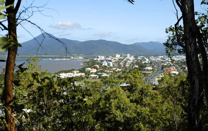
Adjacent to, and immediately behind the Flecker Botanic Gardens, just five kilometres north of the Cairns central business district, is the Mount Whitfield Conservation Park. The entrance to the Park can be found approximately 100 meters to the left of the main entrance to the Botanic Gardens.
Mount Whitfield proper, situated in the conservation park and reaching an elevation of 364 metres above sea level, is part of the greater Whitfield Range, which is the range of mountains visible to the north-west and west of Cairns city.
The Mount Whitfield Park forms part of the traditional lands of the Yirrganydji Aboriginal people (the coastal tribe of the Djabugay speakers) whose area ranged from the Mowbray River near Port Douglas to the Barron River at Cairns.
The Conservation Park covers approximately 300 hectares and is covered with a variety of vegetation ranging from thick tropical scrub, thinning to open Eucalyptus forests and grasslands. Being almost completely surrounded by urban development, the Park has become virtually isolated from the rest of the Whitfield Range, making its environmental protection a matter of great importance.
The Park is a valuable nature and recreational resource to locals and visitors alike. It is an extremely popular location for health and fitness enthusiasts who make regular use of the Red Arrow and Blue Arrow trails, two walking tracks that negotiate the Park.

|